Sell Your Map of the British and French Dominions in North America for $125,000 at Nate D. Sanders
FREE EVALUATION & APPRAISAL of “A map of the British and French dominions in North America, with the roads, distances, limits, and extent of the settlements” which is a map by the geographers to King George III, Thomas Jefferys and William Faden, circa 1773. Email [email protected]. This map was last auctioned for $125,000. We at Nate D. Sanders Auctions (http://www.NateDSanders.com) can obtain up to $125,000 for you or more for your “A map of the British and French dominions in North America, with the roads, distances, limits, and extent of the settlements”. Please email your photos and description to [email protected]. Please also let us know what other maps you have for sale.
A map of the British and French dominions in North America, with the roads, distances, limits, and extent of the settlements
Related Sold by Nate D. Sanders Auctions:
Lot #64:
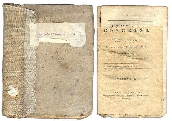
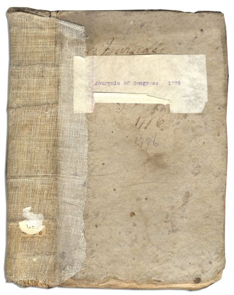
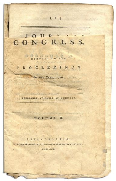
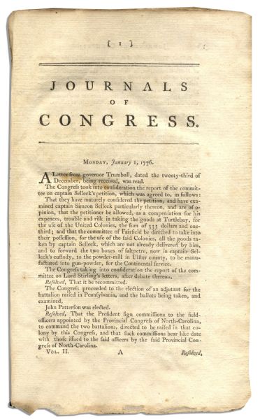
Extremely Rare Original ”Journals of Congress, Volume II” With the Declaration of Independence Printed Within — Covering 1776 Continental Congress Sessions
FREE APPRAISAL. To appraise, auction, authenticate, buy, consign or sell your original Map of the British and French dominions, please email your photos and description to [email protected] of Nate D. Sanders Auctions in Los Angeles (http://www.NateDSanders.com). Thank you.
Please let us know if you have a Map of the British and French dominions.
Nate D. Sanders Auctions offers the following services for a Map of the British and French dominions:
- Appraise A map of the British and French dominions in North America, with the roads, distances, limits, and extent of the settlements
- Auction A map of the British and French dominions in North America, with the roads, distances, limits, and extent of the settlements
- Consign A map of the British and French dominions in North America, with the roads, distances, limits, and extent of the settlements
- Buy A map of the British and French dominions in North America, with the roads, distances, limits, and extent of the settlements
- Authenticate A map of the British and French dominions in North America, with the roads, distances, limits, and extent of the settlements
- Research A map of the British and French dominions in North America, with the roads, distances, limits, and extent of the settlements
- Sell A map of the British and French dominions in North America, with the roads, distances, limits, and extent of the settlements
- A map of the British and French dominions in North America, with the roads, distances, limits, and extent of the settlements bought
- A map of the British and French dominions in North America, with the roads, distances, limits, and extent of the settlements appraisal
- A map of the British and French dominions in North America, with the roads, distances, limits, and extent of the settlements authenticated
- A map of the British and French dominions in North America, with the roads, distances, limits, and extent of the settlements appraised
- A map of the British and French dominions in North America, with the roads, distances, limits, and extent of the settlements sold
- A map of the British and French dominions in North America, with the roads, distances, limits, and extent of the settlements taken on consignment
- A map of the British and French dominions in North America, with the roads, distances, limits, and extent of the settlements valued
- A map of the British and French dominions in North America, with the roads, distances, limits, and extent of the settlements auctioned

Connect with us